1
/
of
2
Backcountry Books
Les Arcs / La Plagne Map | IGN Les Arcs / La Plagne 3532 ET
Les Arcs / La Plagne Map | IGN Les Arcs / La Plagne 3532 ET
Regular price
£15.49 GBP
Regular price
Sale price
£15.49 GBP
Unit price
/
per
Taxes included.
Couldn't load pickup availability
The definitive map for the Les Arcs / La Plagne area. IGN Les Arcs / La Plagne 3532 ET is a 1:25,000 scale map covering the Les Arcs / La Plagne area of the French Alps.
15% discount when you buy 2 or more IGN maps with code IGN15.
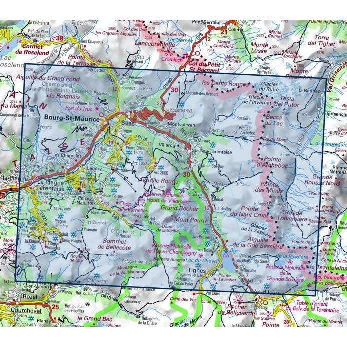
It covers the area from Cormet de Roseland in north west to Val d'Isere in the south east. This is a prime hiking area in summer and a great place for ski touring through the winter.
The 1:25,000 scale is incredibly detailed and has hiking routes and long distance footpaths featured, as well as the usually array of tourist info such as camp sites.
- 1:25,000 map of the Les Arcs / La Plagne area
- Great for ski touring
- Very detailed
- Shows hiking routes and long distance footpaths
Share