1
/
of
3
Backcountry Books
Megeve Map | IGN Megeve - Col des Aravis 3531 OT
Megeve Map | IGN Megeve - Col des Aravis 3531 OT
Regular price
€23,95 EUR
Regular price
Sale price
€23,95 EUR
Unit price
/
per
Taxes included.
Couldn't load pickup availability
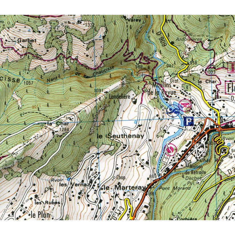
The definitive map for the Megeve area. Megeve - Col des Aravis 3531OT from IGN is a 1:25,000 scale map covering the Megeve area of the French Alps.
15% discount when you buy 2 or more IGN maps with code IGN15.
It covers the area from St Gervais all the way to Beaufort and Ugine, including the villages of Megeve, Praz-sur-Arly and Flumet. This is a prime hiking area in summer and a great place for ski touring through the winter.
The 1:25,000 scale is incredibly detailed and has hiking routes and long distance footpaths featured, as well as the usually array of tourist info such as camp sites.
- 1:25,000 map of the Megeve / Col des Aravis area
- Great for ski touring
- Very detailed
- Shows hiking routes and long distance footpaths
Share