Backcountry Books
Niseko Backcountry Map
Niseko Backcountry Map
Couldn't load pickup availability
Niseko Backcountry Map is a guide and map to the awesome backcountry skiing and snowboarding in the Niseko area. This is the 2nd edition.
Available as part of a package > .
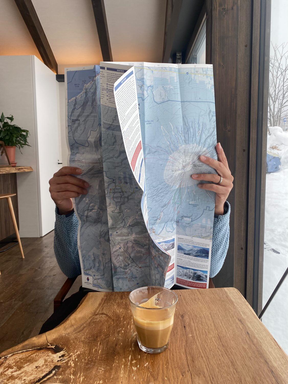
Niseko Backcountry Map is an English language backcountry skiing guide to the greater Niseko area. Niseko is the epicentre for powder skiing in Hokkaido and the surrounding mountains provide many great ski touring and splitboarding routes.
This is the 2026 updated version. Main changes are slope angle shading, and some updated routes and access around the Raiden-yama area in the Niseko Range.
The map is printed on waterproof, tearproof material and has a very detailed 1:25,000 scale. It includes all the most popular backcountry lines on the region and has extensive info on access, timings, weather and avalanche concerns.
Niseko Backcountry Map includes routes in the following zones:
- Yotei-zan
- Shiribetsu-dake
- Niseko Annupuri
- Moiwa-yama
- Iwaonupuri
- Nitonpuri
- Chisenupuri
- Weisshorn
- Shakunage-dake
- Shirakaba-yama
- Mekunnai-dake
- Raiden-yama
- Iwanai-dake
Folded size 11cm x 22cm (4" x 8.5")
Open size 66cm x 97cm (26" x 38")
Niseko Backcountry is a non-profit initiative, with proceeds from wholesale to be donated to volunteer and NPO groups in the Niseko area, focussed on outdoor adventure, access, sustainability, and safety.
Share